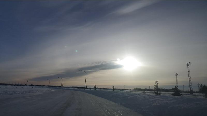
While the northeast continues to be affected by turbulent weather, Environment Canada compared this year’s temperatures to those experienced over the past 30 years.
This year has been particularly unpredictable in terms of snowfall and moisture.
According to Environment Canada’s Terri Lang, the weather will remain frigid as February is a month in which cold air is working its way north.
“Looks like it’ll be cold through to probably the end of this week when it’ll finally try and start warming up again. But that cold is still lurking to the north there.”
Along with cold air, areas across the northeast have experienced heavy snowfall and residents are wondering if this is an above average year for moisture.
For those curious, Melfort has an automated weather observation from the weather station which measures snow depth but not the total amount of snowfall.
In December, Melfort experienced 20.9 mm of precipitation which is above the 30-year average of 17.8 mm.
Jan was another record-breaking month as 25.3 mm of precipitation was recorded compared to 14.5 mm seen in the 30-year average.
Although the month is not yet over, February seems to be following the opposite trend with 6.5 mm of precipitate compared to the average 10.2 mm.
Surprisingly snow depth at the end of January was below average at 25 cm with a 30-year average of 38 cm.
Snow depth for February was also below average with 32 cm when typically we see 44 cm at this time of year.
So despite how the snow may look to be above average, Lang offers an explanation as to why things are not always what they seem.
“The last couple of years have been so dry that it seems like a whole bunch compared to the last couple of years.”
–
Rachel.May@pattisonmedia.com
On Twitter: @RachelMayFM


